Earth Data - Simplified Insights for a Changing World
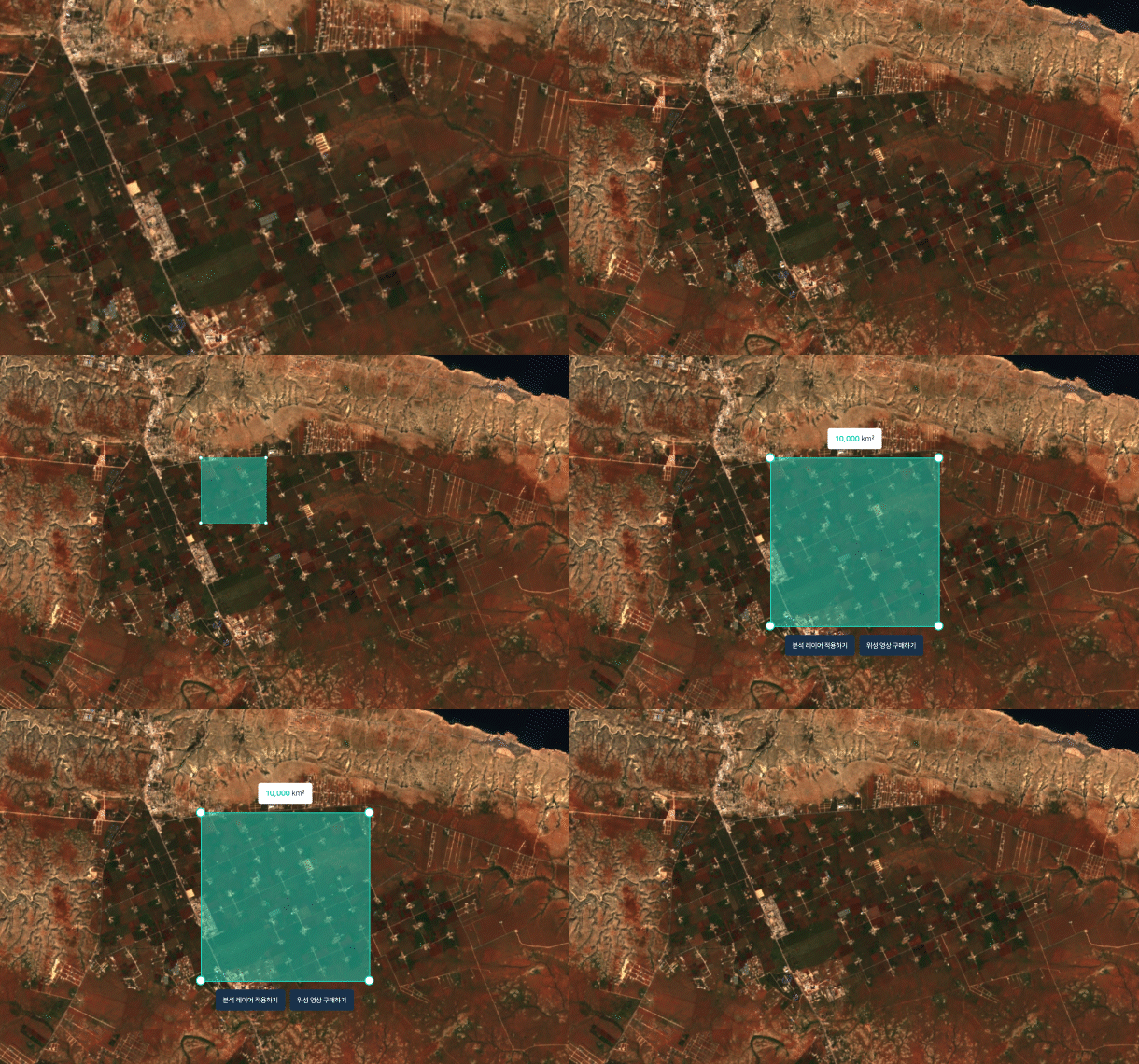
Purchase and analyze satellite imagery easily at EarthPaper.
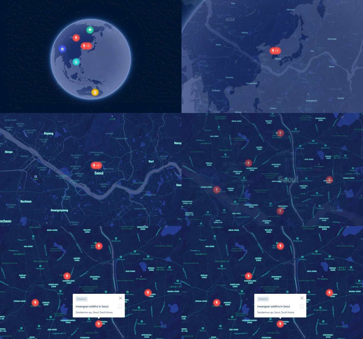
Space big data is widely utilized across multiple sectors, ranging from environmental monitoring and urban planning to applications in finance and investment strategies.- Disasters
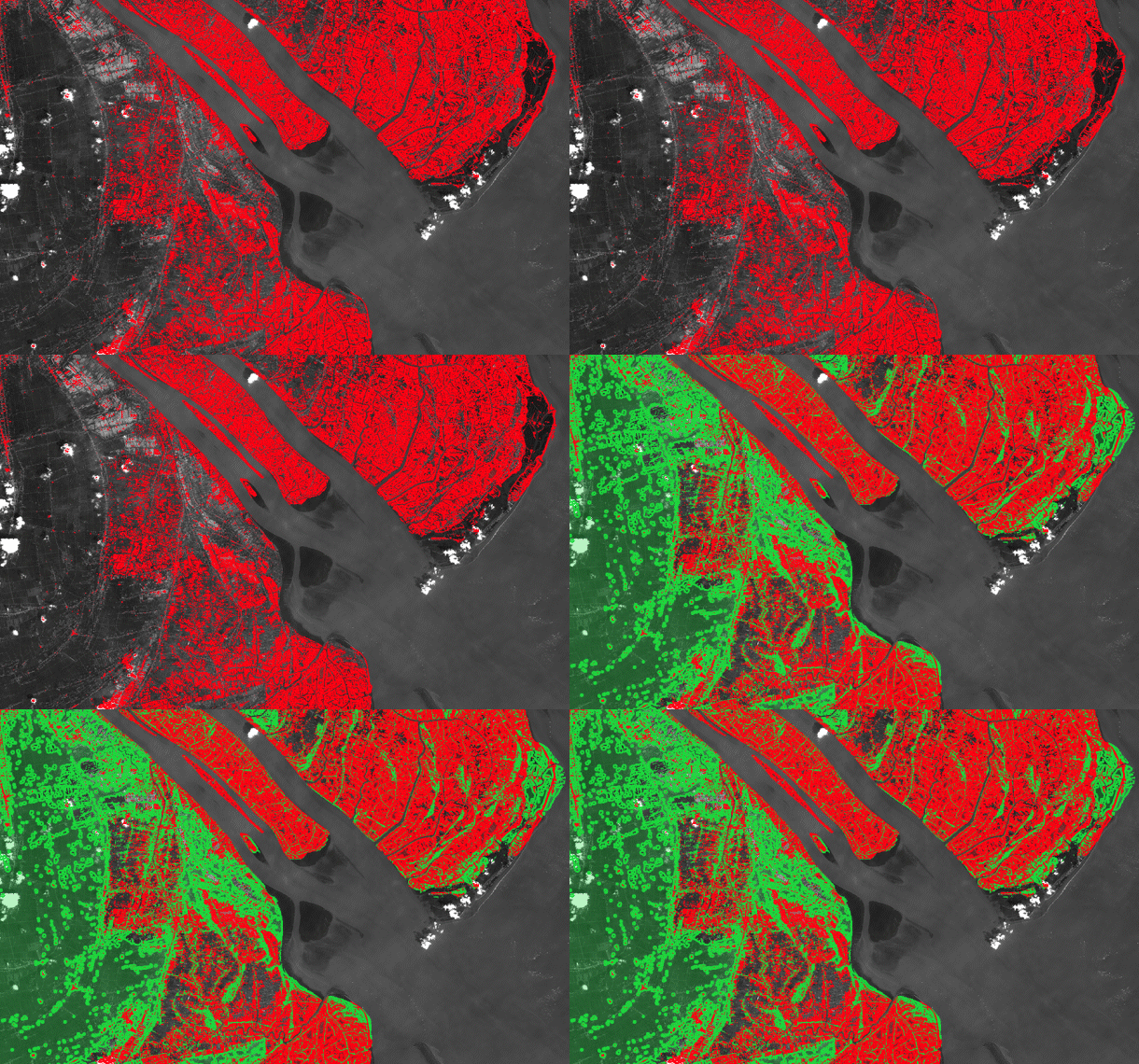
From forecasting to emergency response, EarthPaper can provide geospatial insights that support worldwide disaster preparedness and recovery efforts .

- Cities
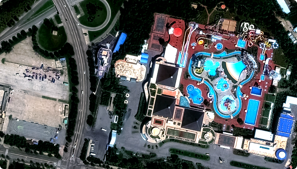
Offering sustainable urban management solutions, including city planning, air quality monitoring, subsidence detection, and building vulnerability assessments.

- Finance
Providing satellite-driven insights into freight trends, financial markets, supply chains, and key economic indicators to analyze the impact of global shifts on the market economy

- Environment
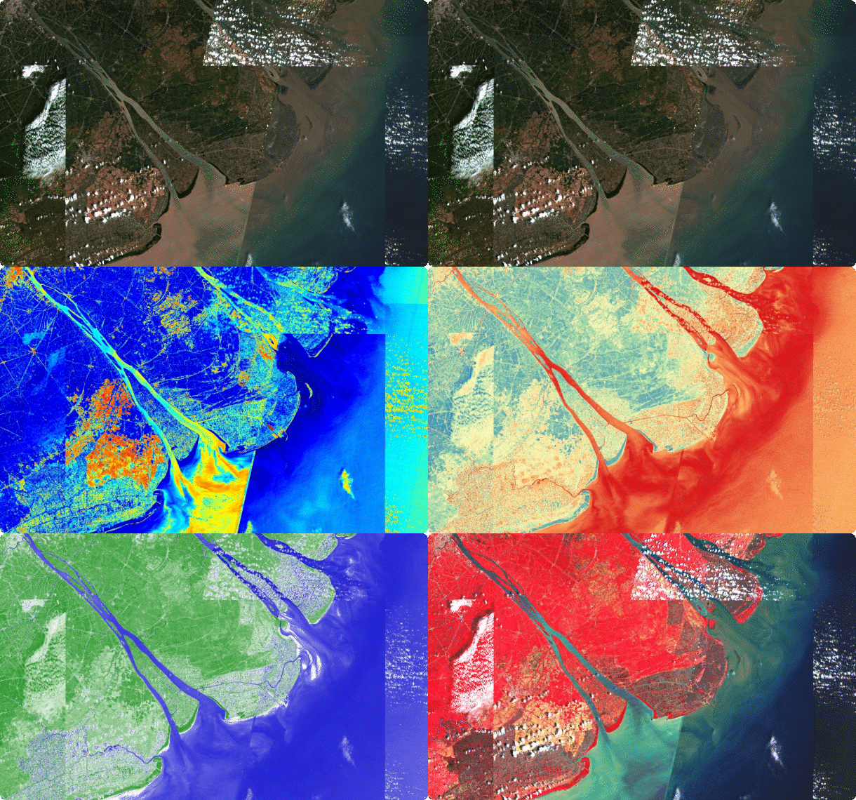
Providing satellite-based data to support climate change mitigation projects, from monitoring vegetation indexes and greenhouse to assessing carbon storage potential.

- Defense
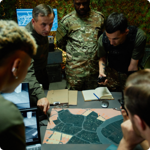
Delivering intelligence solutions enabling real-time monitoring to ensure better access and tracking in high-risk global security zones.
- Agriculture
Offering agricultural monitoring services, including crop yield predictions, health analysis, soil moisture monitoring, and early detection of pests, disease, or drought. These insights empower farmers to make informed decisions, optimize resources, and boost productivity.

- Disasters
From forecasting to emergency response, EarthPaper can provide geospatial insights that support worldwide disaster preparedness and recovery efforts .

- Cities
Offering sustainable urban management solutions, including city planning, air quality monitoring, subsidence detection, and building vulnerability assessments.

- Finance
Providing satellite-driven insights into freight trends, financial markets, supply chains, and key economic indicators to analyze the impact of global shifts on the market economy

- Environment
Providing satellite-based data to support climate change mitigation projects, from monitoring vegetation indexes and greenhouse to assessing carbon storage potential.

- Defense
Delivering intelligence solutions enabling real-time monitoring to ensure better access and tracking in high-risk global security zones.

- Agriculture
Offering agricultural monitoring services, including crop yield predictions, health analysis, soil moisture monitoring, and early detection of pests, disease, or drought. These insights empower farmers to make informed decisions, optimize resources, and boost productivity.

- Disasters
From forecasting to emergency response, EarthPaper can provide geospatial insights that support worldwide disaster preparedness and recovery efforts .

- Cities
Offering sustainable urban management solutions, including city planning, air quality monitoring, subsidence detection, and building vulnerability assessments.

- Finance
Providing satellite-driven insights into freight trends, financial markets, supply chains, and key economic indicators to analyze the impact of global shifts on the market economy

- Environment
Providing satellite-based data to support climate change mitigation projects, from monitoring vegetation indexes and greenhouse to assessing carbon storage potential.

- Defense
Delivering intelligence solutions enabling real-time monitoring to ensure better access and tracking in high-risk global security zones.

- Agriculture
Offering agricultural monitoring services, including crop yield predictions, health analysis, soil moisture monitoring, and early detection of pests, disease, or drought. These insights empower farmers to make informed decisions, optimize resources, and boost productivity.

Search and purchase satellite images of any location around the world in near real-time - all in one platform
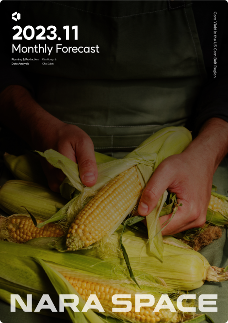
Comprehensive, industry-focused reports featuring case studies and research insights, all powered by our cutting-edge proprietary AI algorithms.
Explore how space and satellite-based data permeates our everyday lives, shaping industries, improving decision-making, and solving real-world challenges.
